Thermography and software tools to help you complete tasks.
DJI radiometric image converter
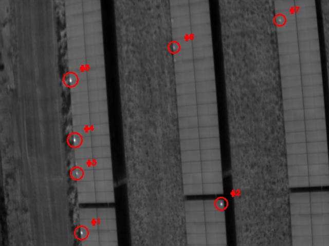
Solar array reporting & analytics
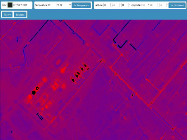
MapTemp Software
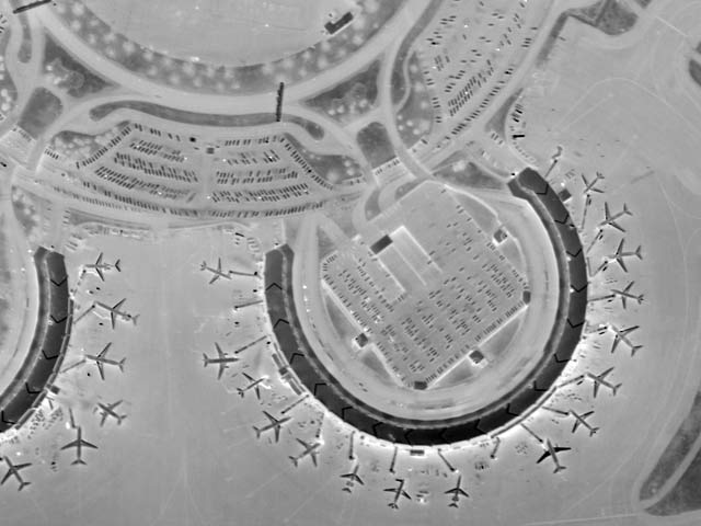
Radiometric thermal stitching
DJI to Flir Converter
Hello fellow thermographers,
Unfortunately the time has come where I shut down this free service. I hope you appreciated it.
An updated version of the converter will be available for purchase soon. Please check back for updates, and I’ll also send an email out letting you all know when it’s ready. Please do not call, we are very busy.