In 2016, a local news station published an article stating that formaldehyde levels were elevated in a particular town, which piqued my interest. Seeking to learn more, I developed a datalogger capable of measuring formaldehyde levels and GPS data simultaneously, which was used both on the ground and in the air. In less than a year, this datalogger allowed me to create a map of several different gases and their concentrations, which is further elaborated upon in this presentation: http://www.swanava.org/2022-joint-conference/ and related slide deck: http://www.swanava.org/app/download/769196465/SWANA+Drones+in+Landfills+-+Eric+Olsen+-+Draper+Aden.pdf.
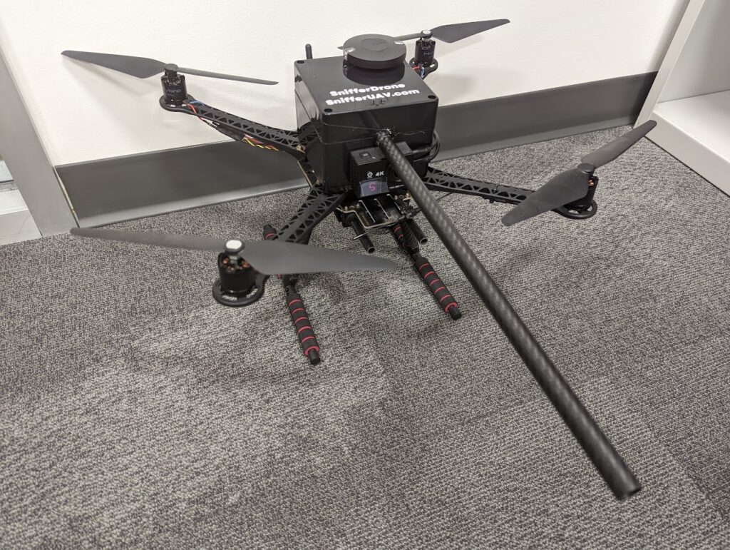
Sniffers are devices that are used to detect and measure the concentration of gases in the atmosphere. In aerial applications, sniffers can be mounted on drones or other aerial platforms to enable remote sensing of gas concentrations in areas that are difficult or dangerous to access. Aerial sniffers use a variety of technologies to detect gases, including infrared absorption, electrochemical sensing, and photoionization. By flying over an area and using a sniffer, it is possible to create a three-dimensional map of gas concentrations. This is particularly useful in industrial and environmental monitoring applications, where it is important to track the movement of gases and identify potential sources of emissions. With the ability to cover large areas quickly and easily, aerial sniffers are an increasingly popular tool for air quality monitoring, leak detection, and other applications.
Our team currently designs and builds sniffers paired with TDLAS and OGI, which are elaborated upon in greater detail here: https://www.droneup.com/2020/01/03/drone-jobs-spotlight-on-eric-olsen